SUMMARY
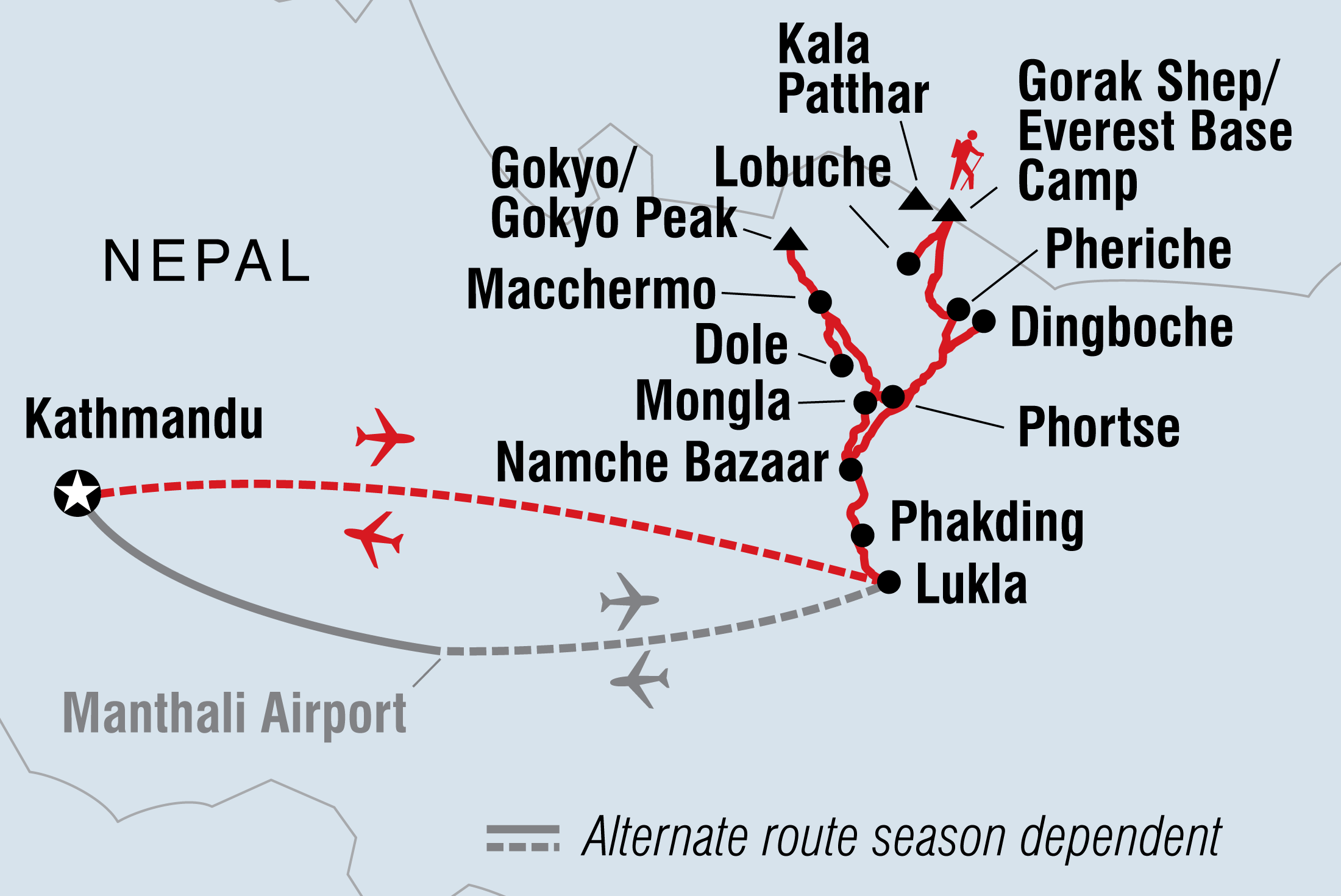
This is an unforgettable expedition into the most mountainous corner of the world. First conquered by Tenzing Norgay and Sir Edmund Hillary in 1953, Everest is the ultimate goal for mountaineers and adventure seekers. Become one of the people who can say they’ve conquered the challenge of reaching Everest Base Camp. Flying into Lukla, explore the mountains and valleys around the towering peak, rest in Nepalese teahouses, visit monasteries, explore the stunning Gokyo Lakes region, learn about the traditions and cultures of the famous Sherpa and spend time in exotic Kathmandu. ALTERNATE ITINERARY: In case of weather conditions leading to cancellations or delays in flights, this trip will operate on an alternate itinerary. Please see Day 1 of the itinerary for more details.
TOTAL DURATION : 19 Days
GROUP SIZE : MIN 1 MAX 12
TOUR ITINERARY AND DATES
START : Kathmandu
END : Kathmandu
COUNTRIES VISITED : Nepal
Validity : 01 JAN 2023 To 31 DEC 2024
Day :1
Location : Kathmandu (1360m)
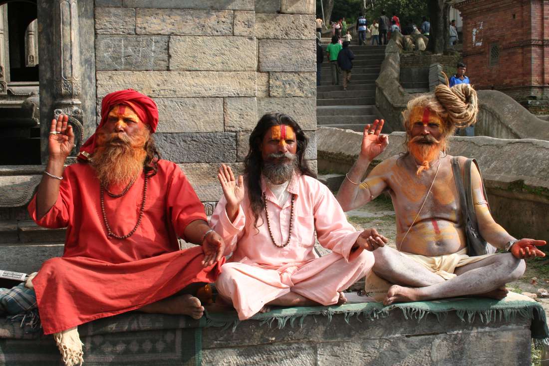
Namaste! Welcome to Nepal. Please arrive by 2pm on Day 1 as we will have an important group briefing. Your leader will leave a note at reception telling you where and when this important meeting will take place. Please ask a member of reception for this information. If you touch down early then there’s much to do in Kathmandu, a city of ancient architecture and modern development, whose rich artistic and cultural heritage means it remains the legendary destination it has been for decades. Maybe head out in to the streets of Pashupatinath (home to markets, bazaars, holy men, monks, bicycles, and sacred cows), climb to Kathmandu’s most important Buddhist shrine Swayambhunath or the ‘monkey temple’, or feel out the atmosphere in Durbar Square. After the meeting the evening is free, but you’ll usually head out to one of Kathmandu’s fine restaurants. ALTERNATIVE ITINERARY DUE TO FLIGHT CANCELLATIONS: Weather conditions in the Himalayas can change rapidly, which frequently results in the need for changes to be made to our intended itineraries. Flights throughout Nepal, particularly in high mountain areas, can be delayed or cancelled due to poor weather conditions. Flights between Kathmandu and Lukla are particularly prone to these delays which has the potential to vary the itinerary of all departures in the Everest region. Our contingency plans in case of bad weather preventing the fixed wing aircraft flight from Kathmandu to Lukla are as follows: Day 2 - We will attempt to board our booked fixed wing flight as per the itinerary. If this flight is cancelled we will return to our hotel in Kathmandu for an additional night. Day 3 - We will again attempt to board our booked fixed wing flight. If this flight is cancelled but helicopters are available and permitted to fly to Lukla we will use our best endeavours to charter a helicopter to transport the group. Travellers will need to use their emergency fund to cover the cost of this chartered helicopter. The exact cost will depend on how many travellers are in your group and could be up to US$500. It is common practice for the helicopter company to charge varying prices, so you may pay different amounts to others on the flight. If we reach Lukla on Day 3 by either fixed wing aircraft or helicopter we will then follow the same itinerary to Everest Base Camp, but descend over one less day in order to take our return flight from Lukla on Day 14. Day 4 - If no flights (either plane or helicopter) are possible on the morning of Day 3, then on Day 4 we will travel by road to Phaplu (approximately 9 hours drive by private vehicle) and then trek to Tengboche on the Everest Base Camp route, via Lukla. While we will not be able to reach Gokyo Lakes on this altered itinerary, we should still have enough time to reach Everest Base Camp at a safe rate of ascent. We also advise allowing a few extra days in Kathmandu at the end of your trip should your return flights from Lukla be delayed due to weather conditions.
Day :2
Location : Phakding (2610m / 8563ft)
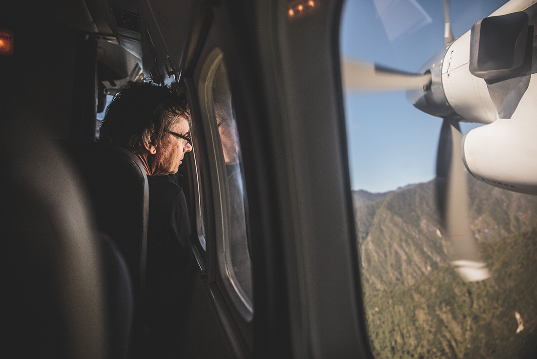
Early this morning you’ll board a plane for a quick journey from Kathmandu to Lukla (2827m) (approximately 45 minutes). This is no regular flight – you’ll be flying parallel to the giants of the Himalayas and, if the weather’s good, make sure to secure a seat on the left for amazing views of the mountains bordering Nepal and China. You’ll touch down on an airstrip built by Sir Edmund Hillary and the Sherpas in the mid-1960s. Then it’s time to meet your porters and take some time to warm up with an exploration of the village of Lukla. After a quick safety talk, gear up and begin your trek to Phakding. You’ll descend towards the milky white waters of the Dudh Kosi River, where you will join the main trail to Namche Bazaar, located just above Chaunrikharka (2713m). The walk is easy and after passing through the small village of Ghat (2550m), it’s only a short walk to Phakding.
Day :3
Location : Namche Bazaar (3440m / 11286ft)
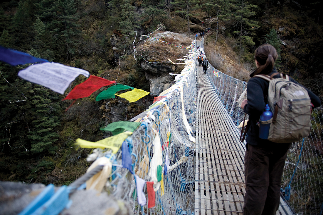
Today you’ll trek around 7 hours to Namche Bazaar, where you’ll spend a couple of days acclimatising to the altitude. You might also get your first look at Everest itself. From Phakding you’ll cross the river and head up the valley, following in the footsteps of the porters loaded with supplies for Namche Bazaar. The trail, lined with blue pine forest, follows the river valley and is especially spectacular in spring when the rhododendron flowers are bright in bloom. Cross the Dudh Kosi River at Benkar, and look way up above 6,000 metres to see the peaks of snow-capped Kusum Kanguru (6369m) and Thamserku (6623m). Press on to Monjo (2835m), a good place to break for lunch. From here the walk starts to get a little tougher, with a steep ascent to Namche Bazaar. Enter into the national park, cross the river through the village of Jorsale (2805m) and then continue upstream. Cross another spectacular suspension bridge and begin the ascent to Namche Bazaar. Get your camera out as now there will be your first glimpse of the peaks of Everest, Lhotse, Nuptse and Taweche. Namche will be your last chance to check your equipment and hire any additional gear for the high altitudes from Dingboche onwards. Namche Bazaar is also the last chance to enjoy the local nightlife or take to the pool hall and video parlours.
Day :4
Location : Namche Bazaar (3440m / 11286ft)
You’ll stay at Namche Bazaar for another night so that you can properly acclimatise to the altitude. One of the best ways to do this is to take strenuous walk up to a high altitude then come back down to sleep – so there’s an optional walk above the Bhote Khola River Valley towards Thami (3810m). Taking a walk to see both the sunrise and sunset views from the national park headquarters above the village is also a great option. This stunning vista includes a super panorama of the Khumbu peaks and great views of Everest. The national park headquarters are home to interesting displays about Sherpa lifestyle and culture, and the local flora and fauna. Namche gained its importance during the period when Tibetan salt was traded for the lowland grains of Nepal. Rugs, clothing, salt and dried meat still all do a roaring trade in the village centre, so haggle for any extra supplies you might need.
Day :5
Location : Mongla (3970m / 13025ft)
From Namche, you will ascend to the airstrip at Shyanboche, and then to a lunch spot in Khumjung, the largest village in the region. Here you can fill up on dhal bhat, noodles, and more. Towering above Khumjung is the sacred rocky peak of Khumbilya (5761m). It’s the home of the guardian goddess of the region, often depicted in religious paintings (or thangkas) as a white-faced figure on a white horse. The trail winds around Khumbilya's lower slopes, passing through beautiful birch forest and then climbing from treeless, grassy slopes to a stupa on top of a rocky ridge (3992m). Once again the views of the surrounding mountains are magnificent. Phortse can be seen across the valley – a picturesque village set in a patchwork of stone walled fields. You will stay overnight at the cluster of lodges on the saddle, known as Mongla.
Day :6
Location : Dole (4038m / 13248ft)
Acclimatisation is tough, so be sure to take it easy over the next three days and don't push yourself too hard. From Mongla, descend 300 metres on a series of switchback trails to the Dudh Kosi River at Phortse Bridge. The trail to Gokyo can be deceptive and some can ascend too quickly, but you will take your time. Leaving Phortse Bridge, you’ll ascend steeply at first and then contour high above the valley, enjoying excellent views (truly, every view is beyond excellent) of Kantega, Thamserku and Ama Dablam (6856m). About an hour's walk from Phortse Bridge, you’ll get your first views of the mammoth peak of Cho Oyo (8153m) at the head of the valley. Trek beyond the tree line and pass some imposing waterfalls en route to the yak herding settlements of Tongba (4015m) and Gyele (4050m). From here it’s a short distance to Dole, where you’ll spend the night. You’ll also explore the upper Dole Valley while you’re here, returning via a high ridge above the lodge to take some incredible photos of Cho Oyo and Gyachung Kang (7922m) to the north, and Taweche (6542m) and Cholatse (6440m) across the valley to the east.
Day :7
Location : Machhermo (4465m / 14649ft)
You might come to appreciate the term ‘short walking day’. Today will be just that, with a climb out of the small Dole Valley before a gradual ascent up the Dudh Kosi Valley, high above the river. Though the walk is quite easy you’ll definitely start to feel the effects of altitude on even the smallest hill. The barren alpine scenery, with only small clusters of scrub juniper, is a stark contrast to the snowy white peaks and deep blue skies. After a couple of hours you’ll arrive at Luza (4360m), then soon enough you’ll reach the lodge at Machhermo – tonight’s accommodation. If you’re still feeling energetic, then after lunch there’s the option to take an excursion across rocky rubble to the base of Kyajo Ri (6168m) and Machhermo Peak (6073m). Watch out for a yeti though – it was spotted here in 1974 when three yaks were killed and a Sherpa girl was injured when trying to fight off a hairy, ape-like intruder!
Day :8
Location : Gokyo (4720m / 15486ft)
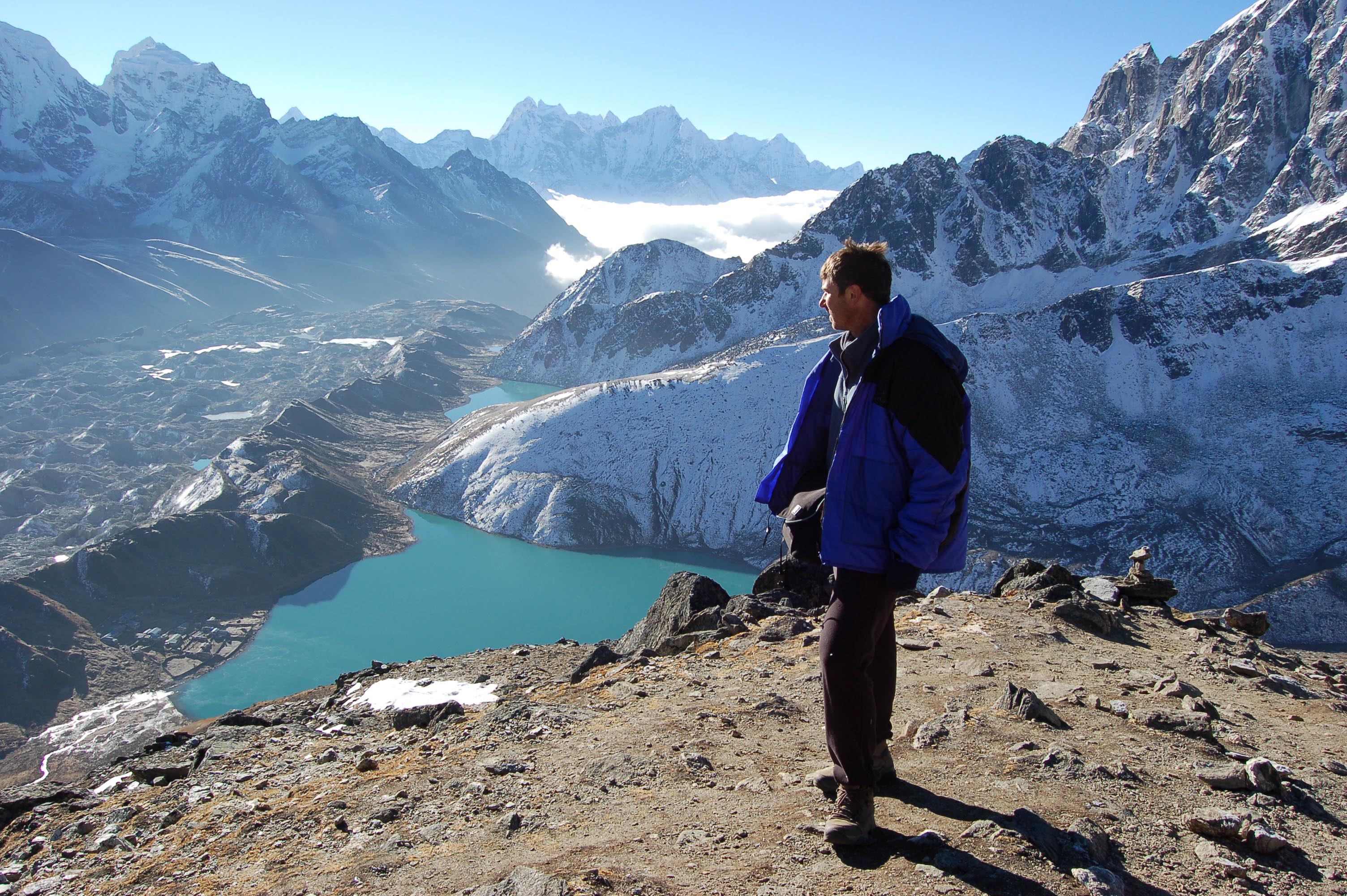
Today you'll need a new word to describe the colour blue after seeing the Gokyo Lakes. A short, steep climb leads from the Machhermo Valley on to the steep grassy slopes of the Dudh Kosi Valley. Keep an eye open for the colourful Tibetan snow cocks, often found in this area. The valley widens as you pass through Pangka (4390m) and on to the jumbled moraines (glacier debris) of Ngozumpa Glacier, the largest in Nepal and the source of the Dudh Kosi River. Climbing steeply over a rocky trail you’ll keep to the western side of the glacier to reach a small lake at the head of a wide valley and then pass a larger lake at Longpongav (4690m), before following the lateral moraines to the third lake at Gokyo (4750m). Gokyo has a number of stone dwellings surrounded by stone walled yak pastures. Today’s lodge is located close to the lake and, if there are no clouds around, the sunroom will be lovely and warm in the afternoon. For those feeling energetic, it’s worth ascending to the ridge at the back of Gokyo for views down to the mighty Ngozumpa Glacier.
Day :9
Location : Machhermo (4465m / 14649ft)
Get up early for a couple of hours climb up Gokyo Peak, which has one of the best panoramas in the Khumbu region. It’s a straightforward but steep climb, and it can be tiring due to the altitude. View four 8,000 metre-plus peaks – Everest (8848m), Cho-Oyo (8153m), Lhotse (8511m) and Makalu (8481m) – and spot countless other towering peaks including Gyachung Kang (7922m) to the east of Cho-Oyo, Cholatse (6440m), Taweche (6542m) and Kangchung (6103m). There’s also a bird's eye view of the Gokyo lakes and the huge creaking Ngozumpa Glacier, now cutting halfway across the world and snaking its way down the valley far beneath. You’ll descend back to Gokyo for a late breakfast and then retrace your steps back to the snout of the glacier and continue down the valley back to Machhermo. You might be surprised easily and quickly you’ll cover the return route – that’s acclimatisation!
Day :10
Location : Phortse (3810m / 12500ft)
Today we’ve got something special to share with you. Not many groups stop in Phortse, a traditional Sherpa village that offers an insight into their life and culture (so let’s keep it our little secret). Here you’ll be almost completely above the tree-line, so the sunsets make for perfect pictures. A leisurely start to the day will wind you down the valley to Dole, where you’ll enter the forest to continue the descent to Phortse Bridge. Keep an eye open for musk deer, which are often seen on this section of the trail. Here you’ll stop for lunch and then branch off the main trail to Namche, crossing the Dudh Kosi and ascending to the village of Phortse, where few trekkers pass on their Everest trek. The dramatic mountain views, peace and quiet of this village make this one of the highlights of the trek.
Day :11
Location : Dingboche (4410m / 14469ft)
This morning's walk will take you across a ridge before descending on an exposed trail to the Imja Khola. Keep an eye open for Himalayan tahr, often seen perched precariously on the crags high above the trail. Join the trail coming from Thyangboche via the suspension bridge, then gradually climb to the village of Pangboche, where the peak of Ama Dablam dominates the skyline. Have lunch here and then, if it is open, take the opportunity to see the beautiful monastery that once housed (what was claimed as) the hand and scalp of a yeti. After lunch, follow the trail high above the Imja Khola, passing the tea houses at Orsho, before again crossing the Imja Khola and old glacial moraines to a lodge Dingboche. Here you’ll find a beautiful patchwork of small fields enclosed by stone walls. These walls protect crops of barley and potatoes from the cold winds. The scenery is once again spectacular and although Everest will be hidden behind the Lhotse-Nuptse Ridge, the huge peaks that tower above the eastern end of the valley are more than worthy. If the weather’s right, then there will be gorgeous sunsets illuminating the peaks – Ama Dablam, the south face of Lhotse to the north, and also Island Peak in the centre of the valley.
Day :12
Location : Lobuje (4910m / 16109ft)
From Dingboche, ascend the small ridge behind the village above the Pheriche valley. From the stupa at the top, Taweche and Cholatse (6440m) make for a pretty striking scene; they seem to lean forwards from across the valley in the west. To the north, Lobuje Peak (6119m) and the snowfields of the Cho La are the kings of the skyline. The walking will now be fairly flat on wide-open fields, but remember that there’s no rush – take your time and ensure you’re well hydrated. Late in the morning you will cross the Khumbu Khola at Dughla and take a light lunch at the foot of the huge terminal moraines of the Khumbu Glacier flowing off Everest. In the afternoon, there will be a solid and quite steep climb on a rocky trail to the top of the moraines. On the crest of the ridge, you’ll pass a line of memorial cairns (stacks of stones), built in memory of the Sherpas and climbers who have died on various Everest expeditions over the last fifty or so years. From here the view is downright spectacular once again, with Pumori (7145m), Lingtren (6697m), Khumbutse (6623m), and across the border in Tibet, Changtse (7550m), surrounding you. Then follow the valley stream to the lodge at Lobuje, arriving early afternoon. No doubt you’ll be tired today, but remember tomorrow’s plan – Everest Base Camp.
Day :13
Location : Gorak Shep - Everest Base Camp (5140m / 16864ft)
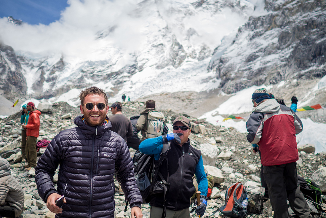
This is the big one, the day of Everest Base Camp. From Lobuje, follow the broad valley that runs parallel to Khumbu Glacier, with a gradual ascent enabling you to build the slow, steady rhythm required when walking at high altitude. When you reach the moraines of Changri Nup Glacier, you will make a series of small ascents and descents over a rocky trail lined with cairns that eventually leads to the surprising glacial sands of Gorak Shep (5160m) – reached after about three hours of walking. Now’s the time to grab a quick bite, gear up appropriately, and then head off towards Everest Base Camp. The trek to the base camp can be achieved in around three hours, and if trekking in the popular climbing period of March to May, you will almost certainly encounter yaks and porters supplying food and equipment to expeditions here. From Everest Base Camp you will not get views of Mount Everest, but you are able to see glorious glaciers, lakes, caves, and the notorious Everest Ice Fall that flows from the Western Cwm. It's regarded as technically the hardest and most dangerous section of the mountain. The return journey from the Base Camp to Gorak Shep takes the same amount of time. You will have an early dinner so that you are able to get up early the next day for awe-inspiring views of the Himalayan giants from Kala Patar. Trek distance: 4.5 Kilometres Trek duration: Approximately 3.5 hours Round trip to Everest Base Camp (5364m / 17598ft) from Gorakshep : Trip distance: 6.5 Kilometres Trip duration: Approximately 5 hours
Day :14
Location : Kala Patar - Pheriche (4240m / 13911ft)
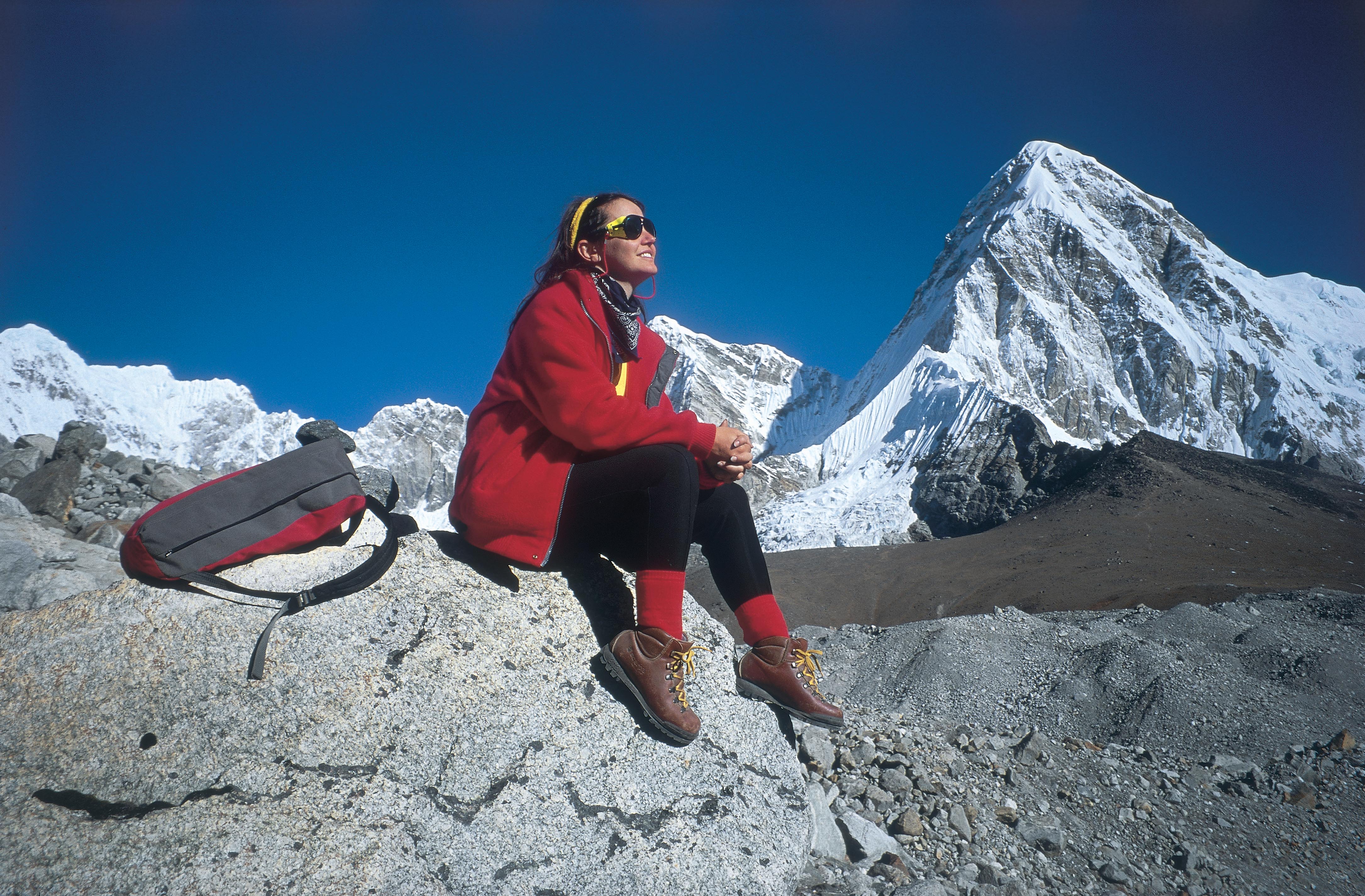
You’ll wake early today for the trek to Kala Patar (5545m), where you’ll experience sensational sunrise views from this amazing vantage point. Don’t be surprised if you get a little tear in your eye when you soak up the views of Everest. Embrace that emotion and spend as long as you like here to savour this extra special moment. To get there from the lodge the ascent is quite steep, so start very slowly and try to ascend at a steady rhythmic pace. Kala Patar is the rocky hilltop below Pumori. It’s a tough walk because of the altitude, but the view from the top will surpass your wildest imagination. It will probably take a good two hours to reach the summit from Gorak Shep, although lower viewpoints can provide views that are almost as good. Pumori, Nuptse, Changtse, Ama Dablam, Taweche, Kantega and Everest – they’re all here. About three kilometres away and some 200 metres below, the area of the Everest Base Camp can be seen in a bowl at the bottom of the Khumbu Ice Fall. Then it’s all downhill from here – the descent to Gorak Shep is easy and when you arrive back at the lodge you will have a quick drink and head off to the rooms to pack your kit bags while breakfast is being prepared. After breakfast you will set off to Lobuche and Thukla, where you will stop for lunch. Then you’ll cross the Khumbu Khola and head down the valley below Cholatse to Pheriche, where you will stop for the night. Trek Distance: 4 Kilometres Trek duration: Approximately 3 hours Gorakshep – Pheriche (4240m / 13911ft) : Trek Distance: 12 Kilometres Trek duration: Approximately 5 - 6 hours
Day :15
Location : Namche Bazaar (3440m / 11286ft)
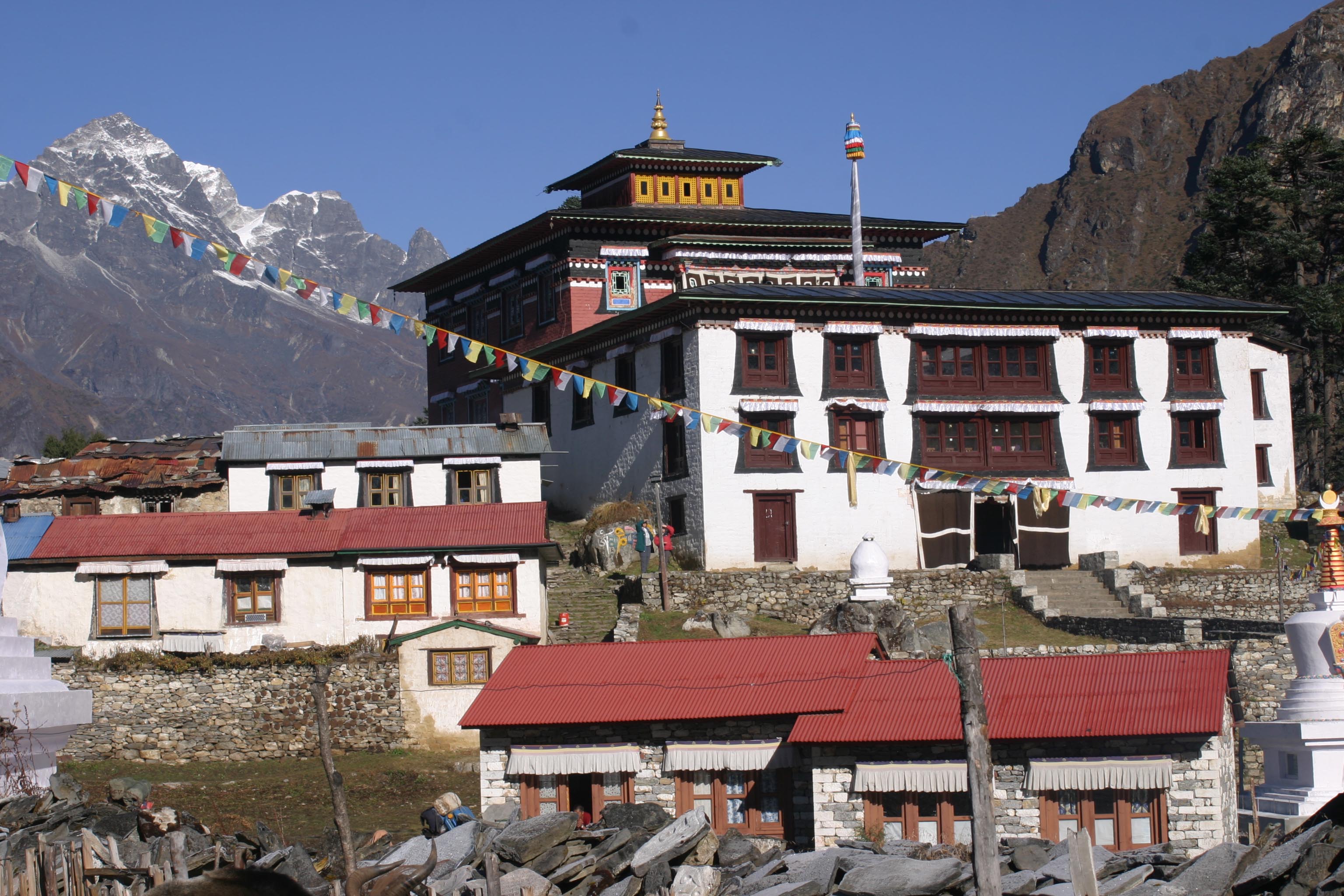
From Pheriche, cross the Khumbu Khola River and ascend a short steep trail to the top of a small ridge for great views of Imja Valley, Ama Dablam and Kantega. Descend through the small settlements at Orsho and Shomare before passing through Lower Pangboche. Here you’ll reach the suspension bridge over the Imja Khola River, then ascend back to Thyangboche to visit the monastery. According to legend, Lama Sange Dorjee, who came from Tibet’s Rongphu Monastery, founded Thyangboche Monastery in the 17th century. Thyangboche was destroyed by an earthquake in 1933, rebuilt and again badly damaged by a fire in 1989. Construction of the present monastery was completed in 1992. Spend a bit of time visiting the monastery and the nearby museum. In the afternoon, descend steeply through beautiful forest of juniper, rhododendron and fir to Phunkitenga. After a welcome break and perhaps a cup of tea, you will cross the Dudh Kosi River and ascend to Trashinga. From here the trail contours high above the valley through Shanasa and on to Namche Bazaar, where you’ll spend the night.
Day :16
Location : Phakding (2610m / 8563ft)
Take some time to enjoy your final opportunity to visit the shops in Namche Bazaar, before descending steeply down to the large suspension bridge over the Dudh Kosi River. You’ll follow the trail through Jorsale and back to Monjo, where you’ll stop for lunch. In the afternoon it’s only a short walk via Benkar through blue pine and rhododendron forest, with great views of Kusum Kangaru, back to the lodge in Phakding.
Day :17
Location : Lukla (2840m / 9318ft)
You’ve done it, your last day of trekking! It’s only a short walk in the valley before making the final climb up to the airstrip at Lukla, where you’ll say goodbye to your Sherpa crew. When you’re back in Lukla, celebrate with a hot shower, a sleep, or with a few drinks with your group. You earned it – you conquered the Himalayas!
Day :18
Location : Kathmandu
Take the short flight from Lukla to Kathmandu this morning (approximately 45 minutes). Return to your accommodation and then enjoy some free time during the afternoon for further sightseeing or shopping. Located in the south of the city, Patan is also worth a visit with its own Durbar Square full of historic structures and statues of past kings. This evening it’s time to celebrate with a tongba (hot millet beer) and a plate of ziva (pastry fingers filled with cheese), while you relax your weary legs with your travelling companions and newfound friends.
Day :19
Location : Kathmandu
The trip ends this morning, but there's plenty more to see in Kathmandu for those who wish to stay on.
Everest Base Camp & Gokyo Lakes Trek
Reference : IT


